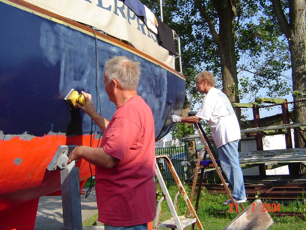
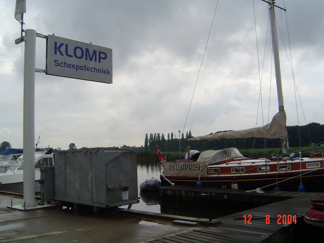
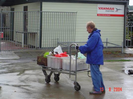
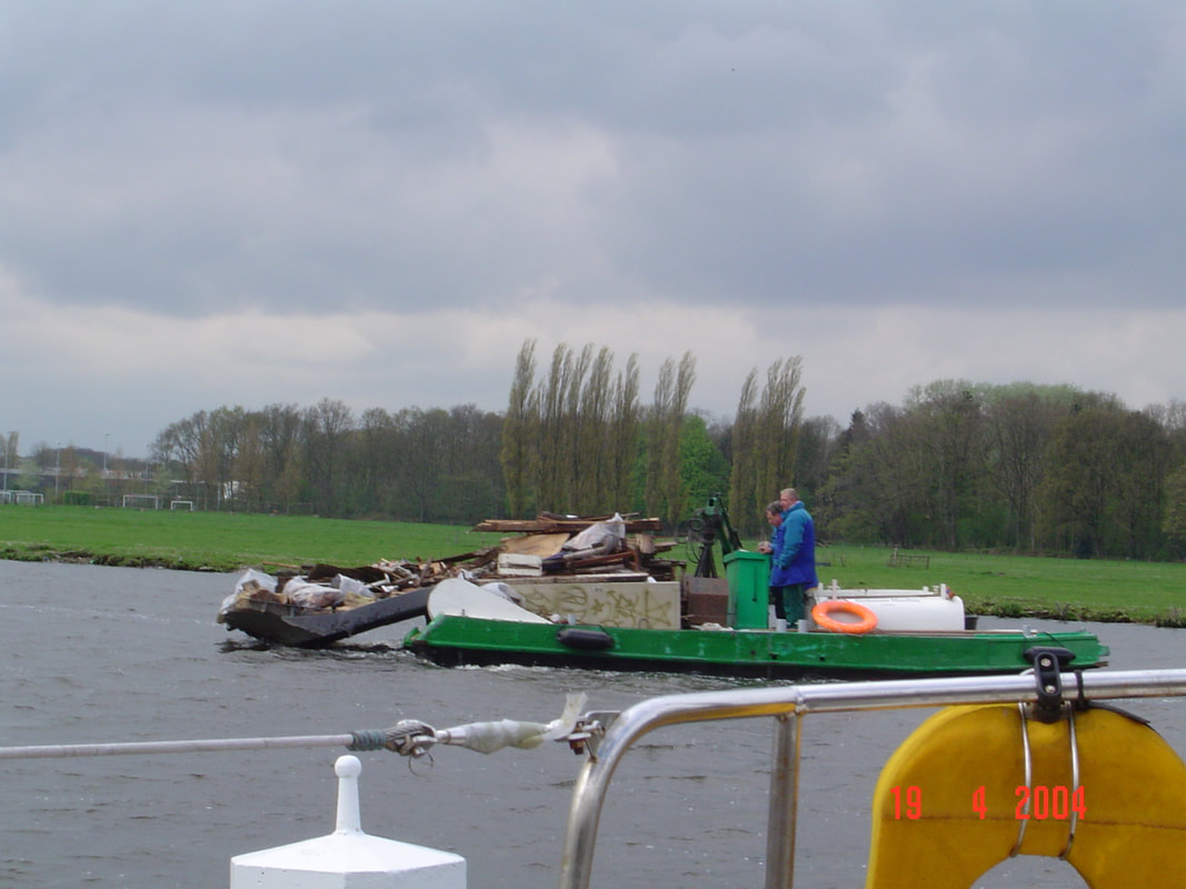
learning IN MORE DANGEROUS WATERS After our first learning experience on Enterprise we left her sat in a cradle in Haarlem with a leaky stern gland and went to crew for a friend on a cruise from Wales to the Southern coast of Ireland; what you might call 'a bus-man's holiday'. On our return, for the next five weeks we worked like demons at wire brushing, painting and cleaning every nook and cranny while we waited for the repairs to be done. During that time we made acquaintance with joggers and dog walkers on the tow path, house boat dwellers and even the man on the garbage clean-up barge. There was a group of boat owners who came to the dock several times a week just to sit on each boat in turn and drink beer just to escape from their wives. We began to understand the life of the river; even though it was hard work it was enjoyable but, it was hot and without being in the water Enterprise got so warm that we ended up camping in the cockpit.
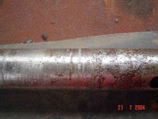
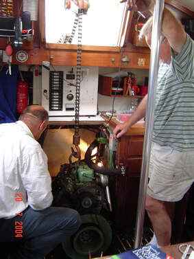
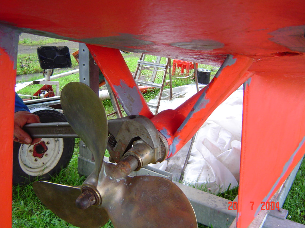
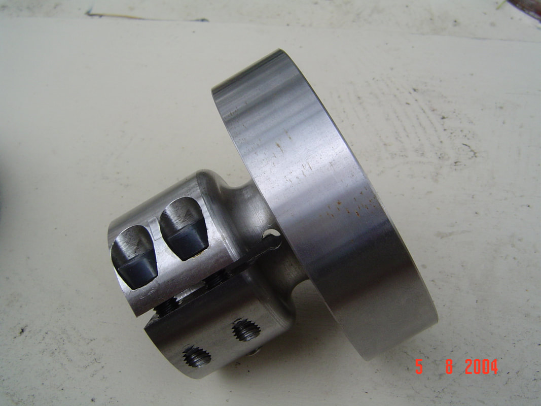
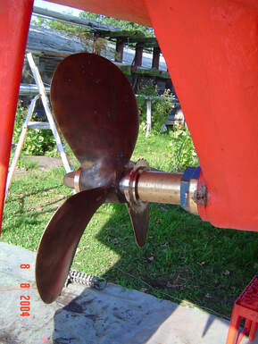
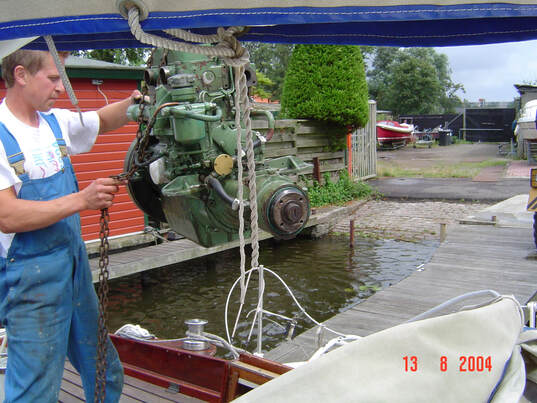
The problem with the stern gland was immediately obvious; it was made of mild steel and had become pitted over time so had to be replaced with a stainless steel one. That was easier said than done. Whereas a stern gland gasket can be replaced by simply uncoupling the prop shaft from the engine and sliding it backwards, replacing the prop shaft required lifting the engine out of the way, removing the propeller and withdrawing it into the ship.
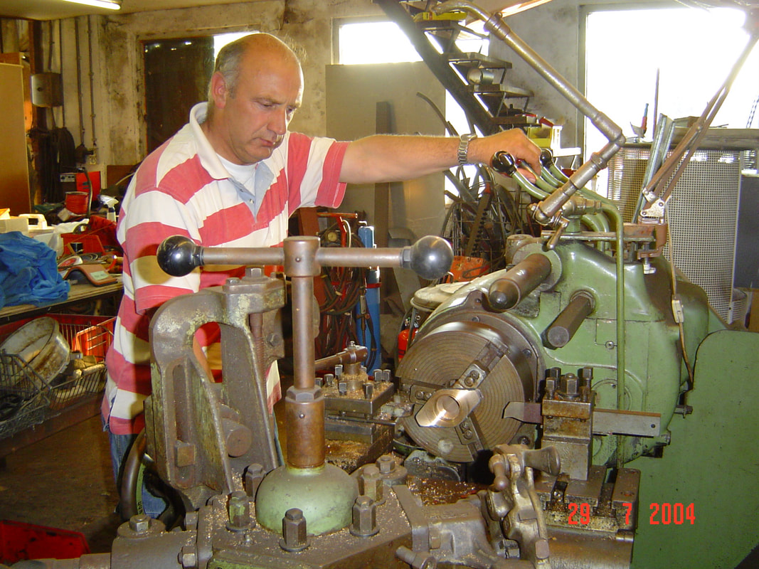
So we were back to living around engine parts again while we waited to get a new prop shaft and coupling machined in Rotterdam. The bearing needed to be replaced also, just to be on the safe side, and all these jobs were time consuming.
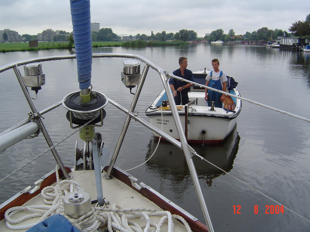
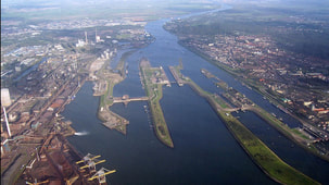
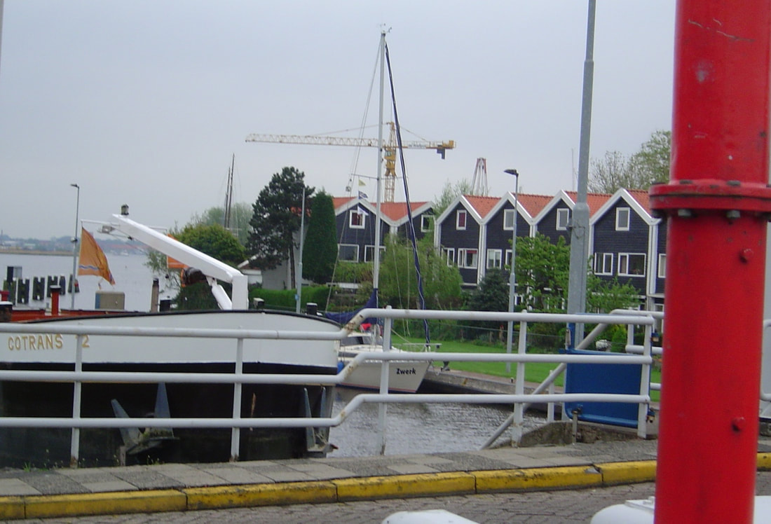
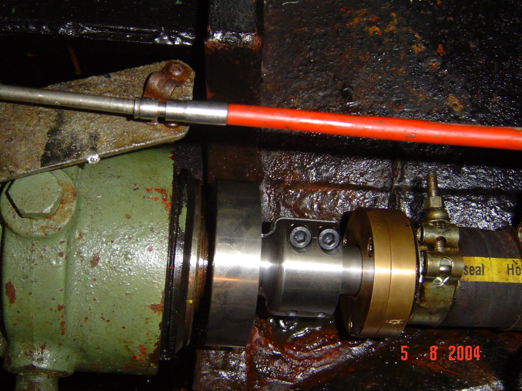 New Coupling, Anti-Vibration Coupling and Stern Gland Installed Finally we were ready to sail. The plan was to lock out of the canal system at IJmuiden and cross the North Sea to Lowestoft in the UK. From there we would sail South to Ramsgate before crossing over to France at Calais and follow the French coast to Morlaix in Brittany. My brother had a farmhouse there and we could use it during the winter if we got 'cabin fever'. It was not to work out that way, 'The best laid schemes o’ Mice an’ Sailors Gang aft agley, An’ lea’e us nought but grief an’ pain, For promis’d joy!', to paraphrase Robert Burns' poem 'To a Mouse'. To catch the tide at IJmuiden we left in in the late afternoon when all our new acquaintances, who had watched us working, were around to wave goodbye. This was the next level of challenge; but it came a lot sooner than we anticipated. 200 metres off the dock the old Volvo engine, that had been coaxed back to life, seized up. The smiles and waves of the house boat owners turned to alarm as we drifted down onto their beautiful picture windows. We got the anchor down before we hit and then sat there in ignominy waiting for a tow back to the dock. All that effort and sense of achievement came crashing down in an instant.
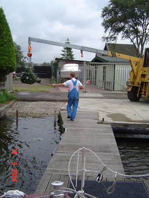
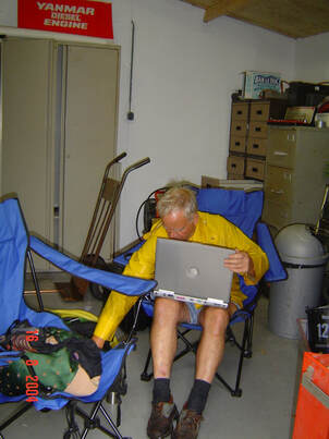
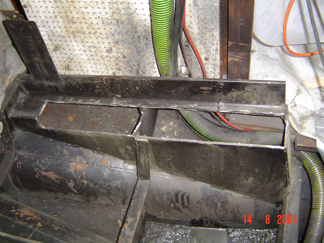
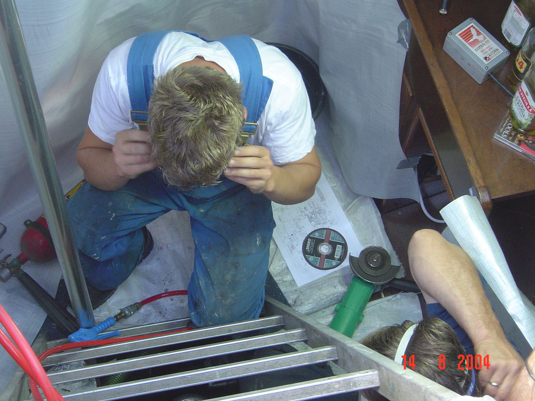
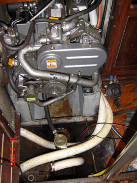
The decision was easy: a new reliable engine was needed. We opted for a 3 cylinder Yamaha but that meant that the engine mounting bed had to be altered to align with the prop shaft. This was a messy business involving grinding and welding and during that work we had to vacate the ship and camp in a shed on the dock. Luckily we had a marine engineer who really moved things along and next day the engine was removed and the new bed started.
Even with lots of protection the cutting process made the boat filthy and broke June's heart when we had worked so hard to clean it. With all the disruption it was obvious that we should install new bilge hoses, that were threaded through the engine compartment, new sea cocks and engine electrics.
A new propeller was required with size and pitch to match the new engine characteristics so we were into another lift out and relaunch. Finally, with final engine trials over, we were ready once again to start, just 9 days after our last fiasco. Such a quick turn around was phenomenal and a great tribute to Gerard Klomp. The pain was mitigated by the great hospitality that we experienced in the Netherlands.
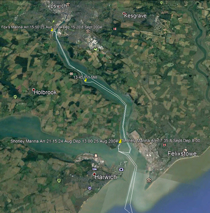
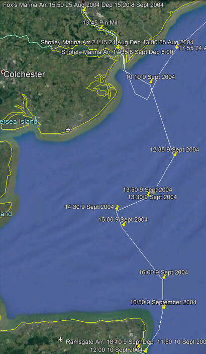
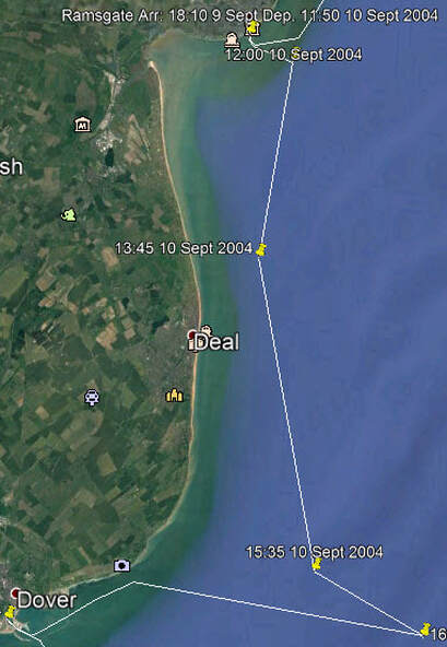
This time we left quietly with heartfelt farewells and locked out into the North Sea at IJmuiden stopping briefly at the marina until the tide was right. The complete log of our impending journey can be seen at the following link. You have to have Google Earth installed and remember to tick the boxes in 'Temporary Places' when it opens. Zooming in gives great detail and when you scroll over a yellow push pin the log book entry will come up. enterprise_cruise_2004_-_2.kmz If you do not wish to bother with that here is a picture of the first leg. Incidentally, it shows the multiple sandbanks in this shallow sea, many of which are exposed at low tide. 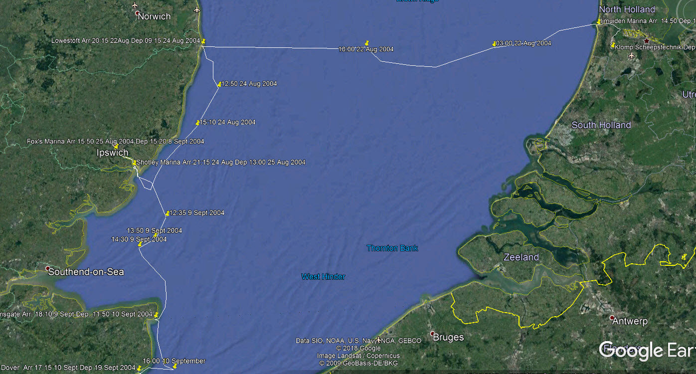 For the trip across to Lowestoft our friend Ron had joined us. The previous two days had been stormy but that had passed and the forecast was good, Force 3 but on the nose. It was dark when we left so we did not see the rather fearsome waves ahead. In our ignorance we had not realized that after a storm in this sea it takes a while for the waves to die down in these shallow waters. We also had not thought about the locker latches not being up to the job, until the lockers opened and spilled everything onto the cabin floor. It was an awful mess of broken crockery and spilled food. Once off the shelving coast the sea calmed down, June ordered us out of the cabin and spent the best part of the crossing cleaning up the mess. Ron, for the first and only time in his life experienced sea sickness and I ended up with a few nasty bruises. We never made that mistake again; the locker latches were replaced at the first opportunity and part of our pre-sailing check list was to secure the contents and put a bungee cord across them. As we gained experience, our pre-sailing check list got longer and longer.
The next day Ron left us and we wondered if he would ever want to sail on Enterprise again, (but he did many times). We had agreed to meet up with our son Howard and his two daughters to sail with them on the next leg South but the engine problems had made us days late and they had a deadline for getting back to Canada, so their sail was curtailed. We met up the next day and set sail as soon as the tide was right. By doing this we committed an error that every cruising sailor makes and we were to make many times; ignoring the elements because of the necessity to fit an itinerary that land based visitors have set up, usually for good reasons that are unconnected to the weather. The wind was heading us for most of the journey, although not exceeding Force 5, but wind against tide makes for steep, short seas and an uncomfortable ride. The girls were inexperienced sailors and consequently spent the whole trip down below feeling miserable. We should have waited another day for easier conditions and as a consequence may have put them off of sailing for the rest of their lives. However, the next day we sailed up the river to Ipswich and hopefully redeemed ourselves a little.
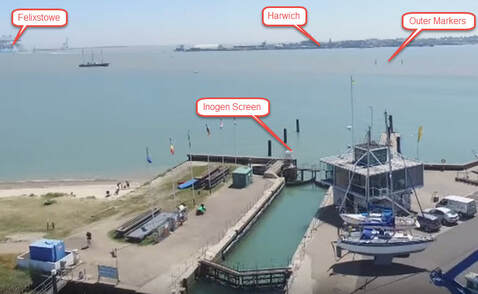
This is a rather clever system to keep a ship on track. These rivers are tidal and at low tide the marina is behind a wide mudflat. Therefore ships must lock in to the marina but to even get to the lock there is a long, straight dredged channel from the deeper water and it is important to stay in the middle of this channel. That is where the system comes in. The Inogen Leading Light is situated on the Starboard Side of the Lock Entrance. When a vessel is on the correct line of approach in the Entrance Channel a vertical Black line is seen in the centre of an orange screen. Any deviation from the correct bearing will cause the black vertical line to change to arrows. You just veer in the direction of the arrows to come back to the correct bearing.
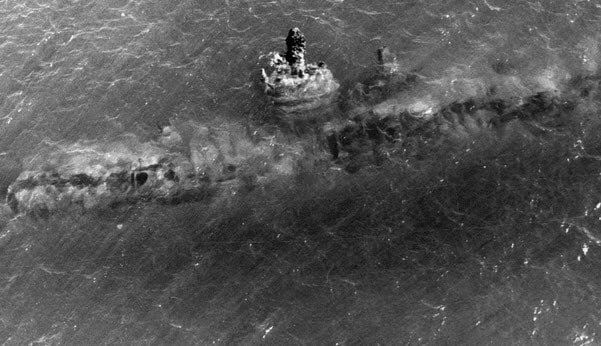
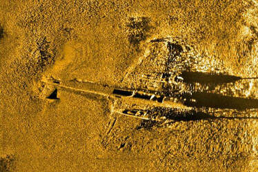
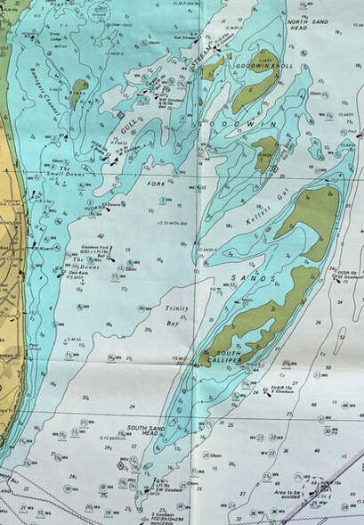
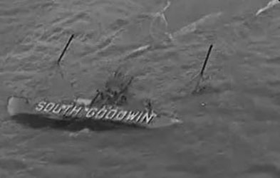
The Goodwin Sands have an almost gothic reputation and for good reason. Since the first documented shipwreck on Goodwin Sands in 1298, more than 2,000 ships are believed to have been wrecked here. Dozens of wrecks still lie underneath the sands and, because they become 'quick' on a rising tide, sometimes long buried shipwrecks reappear. Submarine SM U-48 is an interesting example; caught on the surface recharging batteries during World War 1, it was shelled by several ships and then chased into the Goodwin Sands, where the crew surrendered. An ignominious end for a U-boat that had sunk 34 vessels and captured two. The vessel reappeared in 1921 and then again in 1973 when the following photograph was taken over the northern part of the Goodwin Sands. Also, a twin-engine Dornier 17 bomber was discovered on Goodwin Sands seventy years after it was shot down during the height of the Battle of Britain. It is thought to be part of a large enemy formation intercepted by RAF Defiant fighter aircraft at midday on August 26, 1940 as they attempted to attack airfields in Essex. The pilot attempted a wheels-up landing on the Goodwin Sands, touching down but with the aircraft sinking inverted. The aircraft was in remarkable condition considering spending so many years under water. Other than marine concretion it is largely intact, the main undercarriage tires remain inflated and the propellers clearly show the damage inflicted during their final landing. It has recently been salvaged and will be placed in a museum.
The Sands are about 16 km long and 6 km wide at their widest, but due to the tides and currents, the shoals are constantly shifting. The Sands are completely submerged between 8 to 15 meters beneath the surface at high tide, but as the tide falls, the sandbanks break the surface and expose about a tenth of their total area. During these times, the sand is firm enough to walk upon. In the Great Storm of 1703 at least 13 men-of-war and 40 merchant vessels were wrecked, with the loss of 2,168 lives. Among them was the Stirling Castle with the loss of 279 people; its timbers resurfaced in 1979, 256 years after it sank.
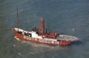
We started with two and a half hours of hard flog past the West Goodwin's marker until we reached a point at which we felt that it would be safe to turn East because we could see the South Goodwin's lightship to port. (This lightship was in a James Bond thriller "Moonraker"). However, when we turned eastwards we were broadside to the wind and waves and rolling badly. From starboard gunwale under to port gunwale under with every wave and making slow progress into the bargain. After half an hour of this we decided that we could not take any more and turned tail for Dover, but it was still an hour and a quarter rolling ride back. Luckily, the Dover coastguard who had been watching our progress on the radar took pity on us and let us into the shelter of the ferry entrance, a rare privilege for a yacht. So our plans were changed and perhaps just as well for my body seemed to say that it had had enough and after a hospital visit I was in bed for a while.
Our new plans had us passing through the straights of Dover and along the South coast of England to Brighton, from where we would make the passage to Cherbourg. Then we would go around Cap de La Hague, through the Alderney Race to Guernsey, finally across to Brittany and to Morlaix. It was 9 September when we left Dover and we were very conscious that we were much later than intended and going into a period of equinoctial gales. 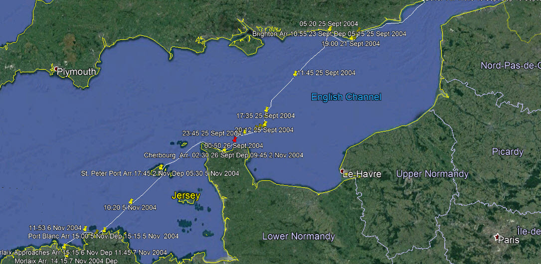 Our Track from Dover to Morlaix
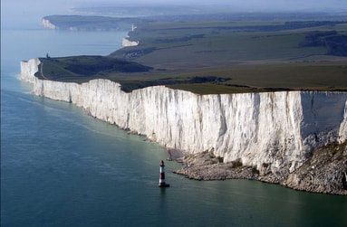
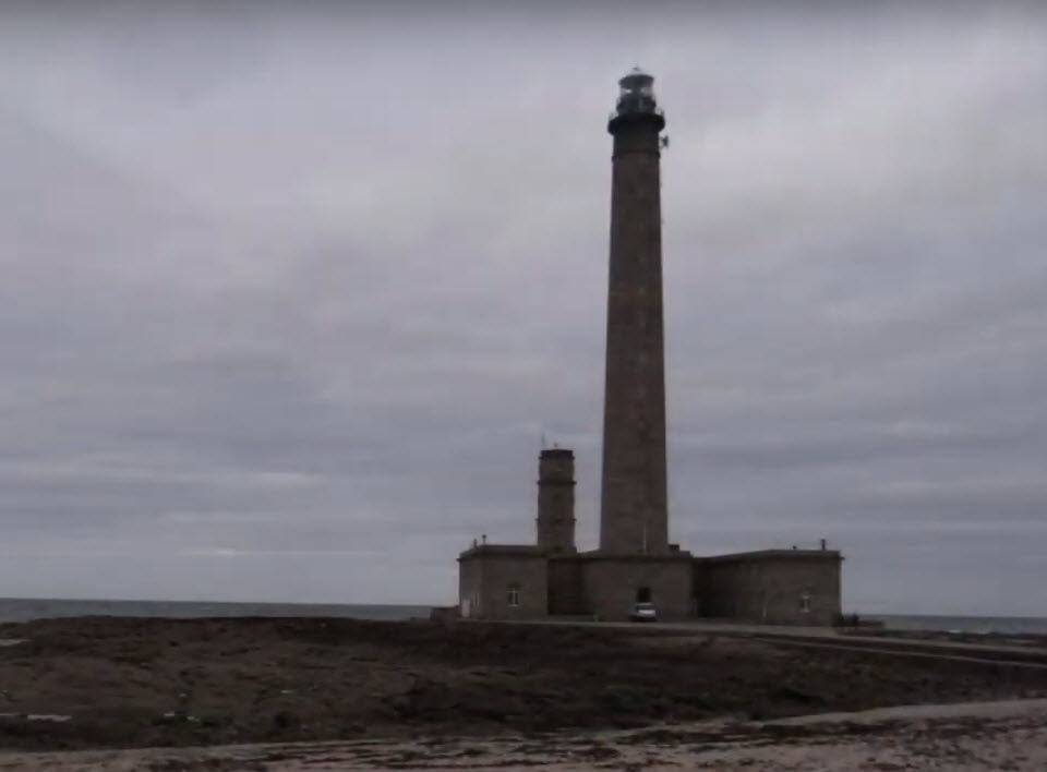
The leg from Brighton to Cherbourg requires careful planning as the tidal currents in the Channel are strong and become very strong the closer you get to France. The strategy is normally to aim for the final destination and not worry about being swept up and down until getting closer to your destination, at that point you want the tidal stream to sweep you in the direction that you want to go. It is all a matter of arriving at the right place at the right time. If you get it wrong, you cannot possibly fight the current and have to wait out a tidal cycle holding your position with the engine until the current turns in your favour. After a wait of a day in Brighton there was a weather window and we set sail at 05:15 on 25 Sept 2004. What we did not know was that this was one of those rare times when the weather forecast was wrong. 6 hours out and the wind became Force 5 and 10 hours out Force 6 with building seas. After that it built more and we could not keep the log but rather focus on survival one wave at a time. Our speed had dropped right off so of course we missed the rendezvous with the tidal current and had to try to hold our position off the Barfleur peninsula for 6 hours in those conditions. We had no auto-helm so somebody had to stay at the wheel all the time. Theoretically the other one should have slept but we were so frightened of falling asleep at the wheel that we both stayed in the cockpit, one trying to keep the other awake. We could see the flash of the Barfleur lighthouse and knew that it should be off the port bow but frequently it suddenly appeared off the starboard quarter so we knew that the other had fallen asleep at the wheel. It was a night that we will never forget.
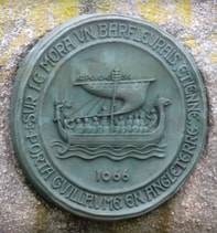
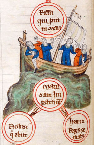
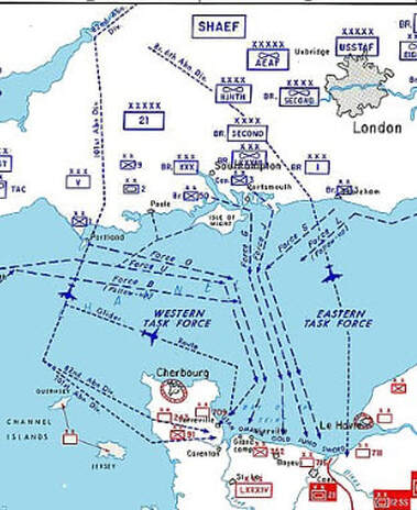
Also, very close to where we were, another event happened that changed the course of British history. On the 25 November 1120 a ship known as 'The White Ship' hit a rock off Barfleur and all but one on board were drowned. The problem was that one of those drowned was the heir to the throne of England and that triggered a devastating civil war. These waters carried the westerly flank of the great invasion fleet of D-Day, 6th June 1944. Understanding the currents and weather in this area makes one realize just how difficult that invasion was.
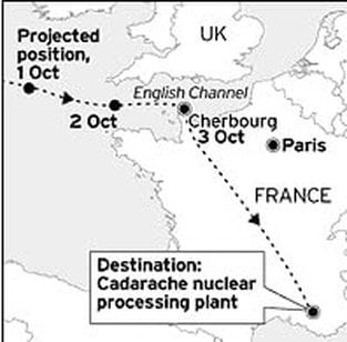
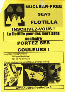
Eventually we made it into Cherbourg's inner harbour but were so tired and disoriented that we found ourselves in the restricted area near the naval dockyard with a rib approaching us at high speed full of sailors armed to the teeth; an alarming experience. They escorted us out of that area once they had determined that we had no malicious intent but the response seemed disproportionate, however we were later to learn why. Eventually we tied up in the marina and the relief was overwhelming. A few minutes later another yacht came in and tied up near us. The three young men aboard jumped ashore and kissed the ground! We discovered that they had sailed from Portland in the UK and been caught in the same weather, at least that validated that it was not our fault that we got caught too. Then the next morning the Barfleur lifeboat came in with a yacht lashed to the side. It turned out that the yacht had left Brighton 8 hours after us intending to catch the next tidal cycle but after being caught like us they had called the lifeboat. So we felt pretty pleased with ourselves since the crews on those other two yachts were probably 40 years younger than us. A couple of days later we discovered the reason for the robust response to straying into restricted waters when we were asked to participate in a protest flotilla trying to stop two vessels from docking in Cherbourg. They were carrying plutonium from decommissioned missiles under the Nuclear Disarmament Agreement between the USA and the USSR to be reprocessed in France.
We had promised to spent a couple of weeks with friends in Tuscany, Italy ( we had expected to be at our final destination by then), but we had lost so much time that we were only in Cherbourg. So we left the ship there, rented a car and drove to Italy. We did not get back until 21 October which pushed us into full winter conditions for sailing to our destination. However, our leg to St. Peter Port Guernsey, through the Alderney Race, was straightforward. Again it is a matter of getting the currents right. The water divides at Cap de la Hague with some continuing West and some doing a left turn down the Alderney Race where currents can reach 12 knots at times so you not want to have wind against tide. The turning point is always rough but it does not last long until you are through it. In rougher water one holds onto the edge of the spray hood and I guess that the arc that supports the edge had had enough and collapsed on this passage. It turned out to be a rather flimsy aluminum affair so once we reached Guernsey we had new stainless steel arcs made to support the spray hood. So that delayed us a couple of additional days before we continued on 5 November to the Brittany coast.
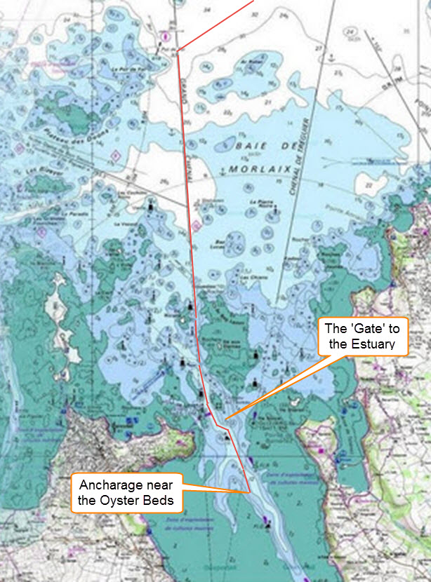
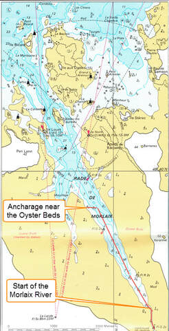
you feel that you are the only person waking up at that time and then you hear another engine start in the distance; you slip the lines and inch away into the darkness but as you approach the open water other pin pricks of light appear on other boats converging and you breath a sigh of relaxation since you know that you got the calculations right (or everyone else got them wrong too!). An hour or so later and you are all alone as the sky to the east gradually lightens. It is an almost spiritual experience as the first rays of sunlight come over the horizon and the water surface is turned to a brilliant reddish gold. It only lasts a few minutes but in those moments everything seems reborn and worthwhile. 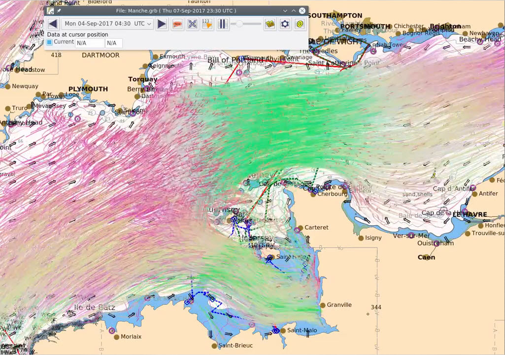 The most fascinating thing about the waters that we were about to sail across is their currents and strength of those currents. The above picture-link is an animated depiction of them. As the video plays out you will notice how the water draining out of the Bay of St. Malo meets the incoming tide and a circular tidal current pattern is set up. The only place in the world where this occurs, as far as I know. With all this water being driven in and out of a confined area, St. Malo is the place in Europe with the highest tidal range at Springs, nearly 12 m (or 40 ft). Looking at these currents you can see how important it is to get it right even if that means setting the alarm for 4:30am! The trip across to the Brittany coast was straightforward and the weather good. There are two rocky plateaux but they are well marked so the only challenge is to make sure that you are positioned not to be swept onto them by the currents. On the other hand, the same cannot be said for the Brittany coast which is extremely rocky and indented with coves and estuaries, often protected by outlying rocks. This is what makes it so attractive and a navigational challenge. The approach to our destination, Port Blanc, was a good example for it cannot be seen at all from the sea. The skipper gets the ship in the right position, then sails for the rocks on the right bearing and as you get close (provided that he has not lost his nerve and done a U turn) the entrance gap opens up and he arrives in a beautiful cove ringed by a former fishing village. All went according to plan and we had just moored up to a visitors buoy and put the coffee pot on when a motor boat arrived alongside and somebody claiming to be the Harbour Master told us brusquely that the Port was closed and we had to leave immediately. After some discussion we left, but not without some trepidation for there was only an hour of daylight left and there was no access to the next port of Perros-Guirec because the lock gates were closed. We moved along the rocky shore and picked a spot where we thought that we would be sheltered and not go aground at low tide, then dropped the anchor as darkness fell. We always have a sleepless night at a new anchorage worrying if the anchor will hold or slowly drag and we will find ourselves on the rocks in the morning. 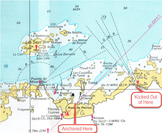 Chart of This Part of the Coast Our experience at Port Blanc was extremely unusual as ships are never forced to go back out to sea. In discussions with other sailors later their consensus seemed to be that there was some clandestine event scheduled for that night, probably smuggling, and our unusual presence so late in the year disrupted that. We have wondered ever since. 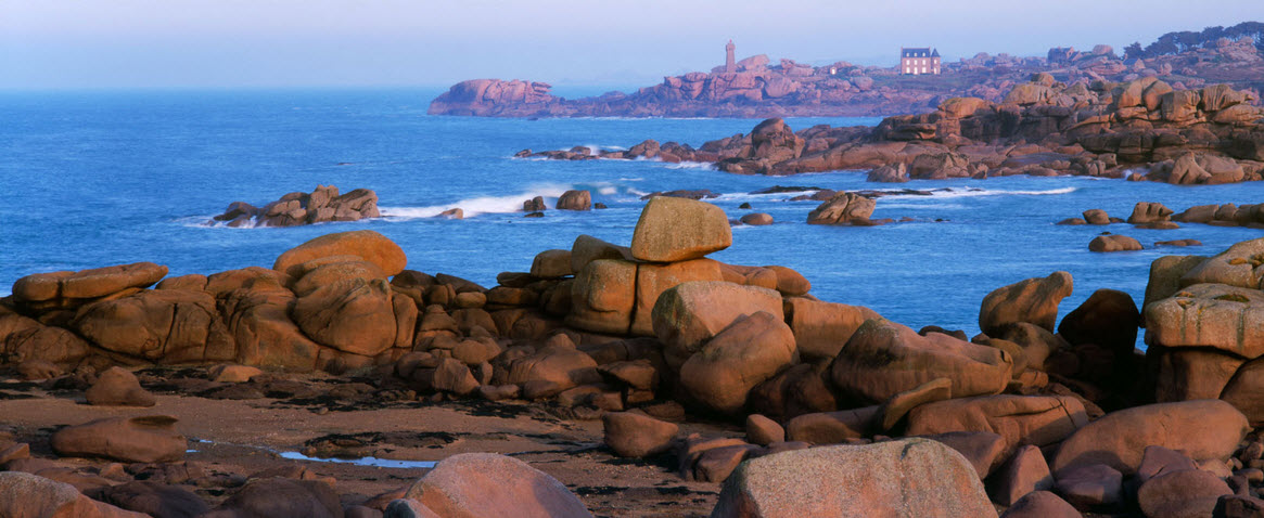 Typical Coastline in this Part of Brittany. After this unpleasant experience we were anxious to get to our destination of Morlaix. This would be our final navigational challenge for the year. It is famous as being a refuge for the Corsairs, sort of legalized pirates. They chose the spot because in the days before modern navigation it was just about impossible for strangers to find their way in and that is what makes it so fascinating today. The City of Morlaix is located at the head of a river that dries out at low tide and which flows into a long shallow estuary which in turn, exits to the sea through a narrow rocky entrance. Outside the entrance is a maze of rocks reaching way out to sea. We had been there before on another yacht but it always requires extreme caution. There is a detailed description of the Morlaix approach in our Blog for 2011 'Cold Welsh rain to Warm Basque Rain'.
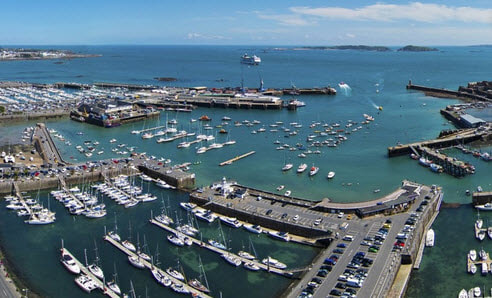
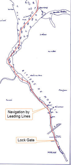
The lock gate at Morlaix only opens 1 hour before High water to one hour after High water in daylight hours so it is usually impossible to arrive at the estuary and travel straight through to Morlaix. Our solution was to find an anchorage spot as close to the oyster beds as we dared and wait overnight to go up on the rising tide. That way if you go aground you just wait for the tide to lift you off. This spot is idyllic in the early morning with the quiet only broken by the chiming of a distant church bell across the misty waters. We have anchored here a couple of times since and it has always been a magical moment in the morning. This time we crept along in the morning mist and up the Morlaix River to arrive in time for the first lock opening. What a relief as the gates closed behind us and we had completed our very challenging cruising season. All the money in the world could not have bought the experiences that we had had.
0 Comments
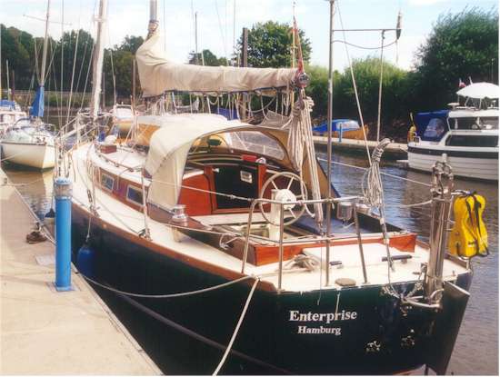
The full route can be seen by following this link to Google Earth, enterprise_cruise_2004_-_1.kmz make sure that you have the ‘temporary places’ box ticked when it is open. Clicking on the yellow push pins will open log entries. However, if you do not wish to do that here is the picture. 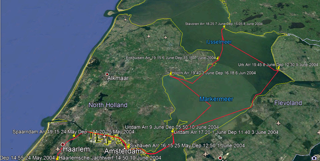 We found Enterprise on the internet in 2003, went to see her later that year, burned our bridges and went to take up residence aboard in 2004. This is the story of our first trip, learning as we went around the waterways of North Holland ( see Enterprise's Story). Many pictures are links.
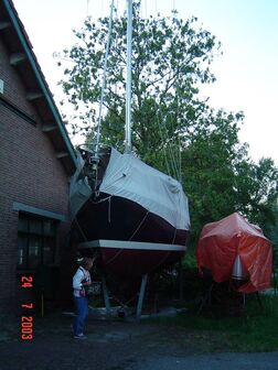
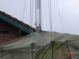
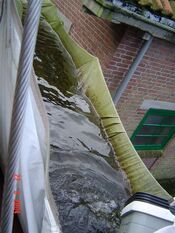
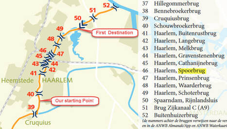
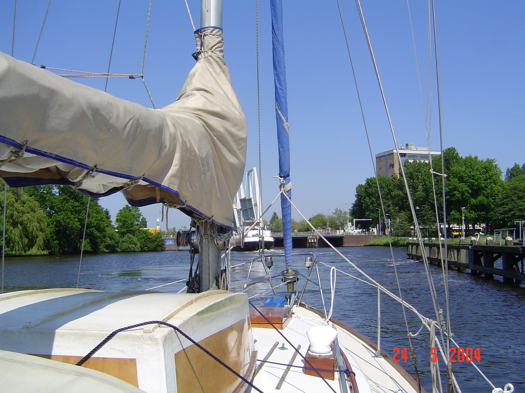
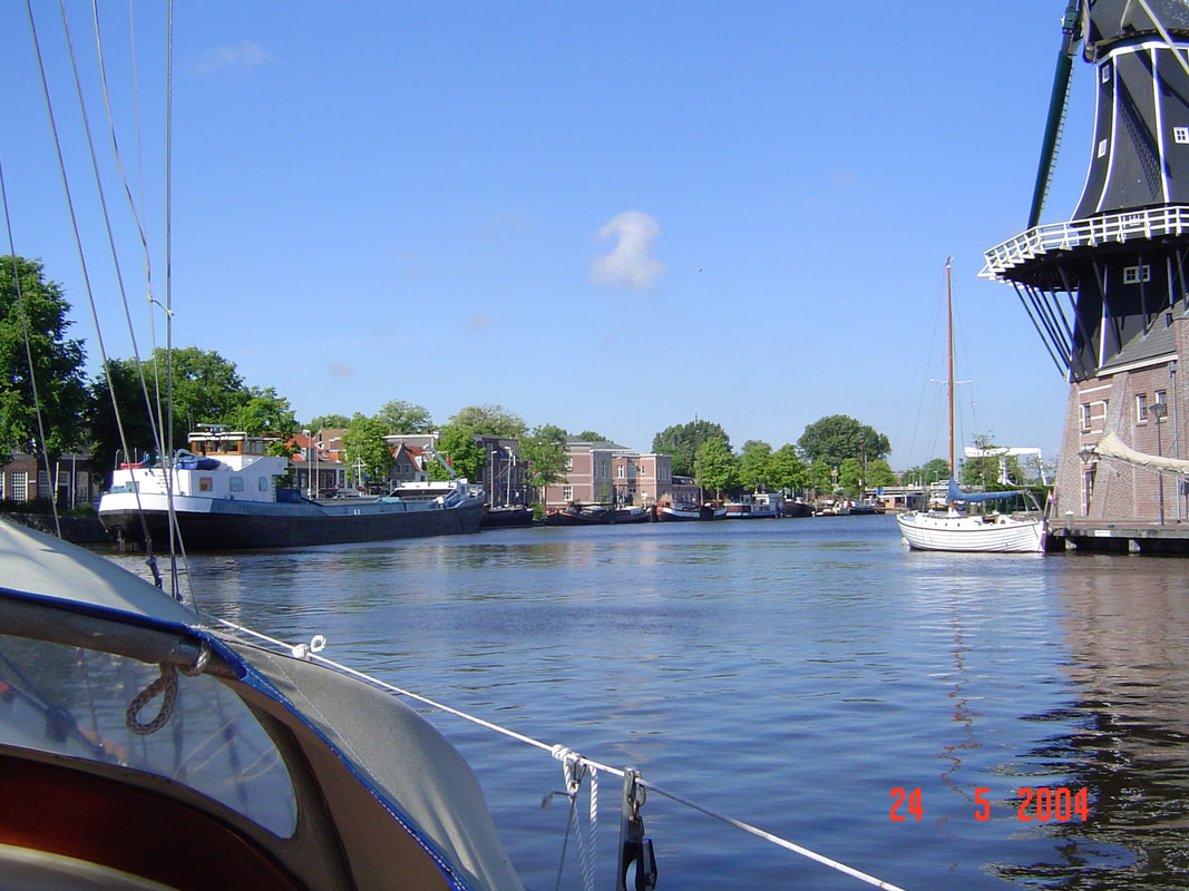
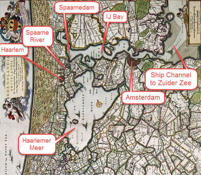
When we arrived to move on board, just one Dutch winter had blown the cover partly off and covered everything with green slime. If we had not burned our bridges we may have given up right there. But having no choice, we worked like dogs for the next 2 months, living aboard in difficult conditions such as when the engine sat in the middle of the cabin floor while a moonlighting Volvo mechanic stripped it down and rebuilt it over the course of a week. However, all this history is the subject of another blog (that is yet to be written). By 24 May 2004 we were ready to cast off; it felt more like a sky diver's first jump for we were launching into the most difficult stretch of waterway in the Netherlands in a boat that we had never driven before. The Spaarne River has been canalised and flows through the centre of the picturesque city of Haarlem, therefore it is twisting, with 10 opening bridges squeezed into a short distance and was busy with commercial barges at that time
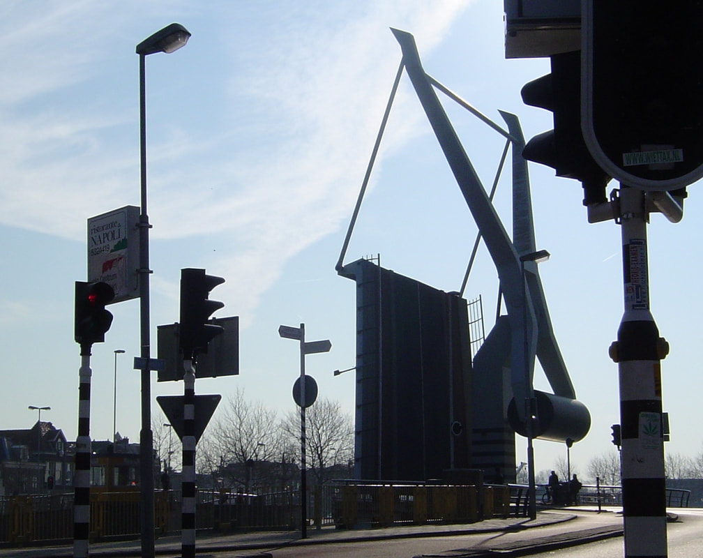
It could be an hour or 5 minutes. It is no good calling up on VHF as pleasure boats rarely get a reply. So we approached our first bridge and hovered and circled as the current and wind forced us into the bank. Then a commercial barge came up and 5 minutes later the bridge went up and we followed it through. Similarly for the next bridge but then came the start of the twisting narrow bit.
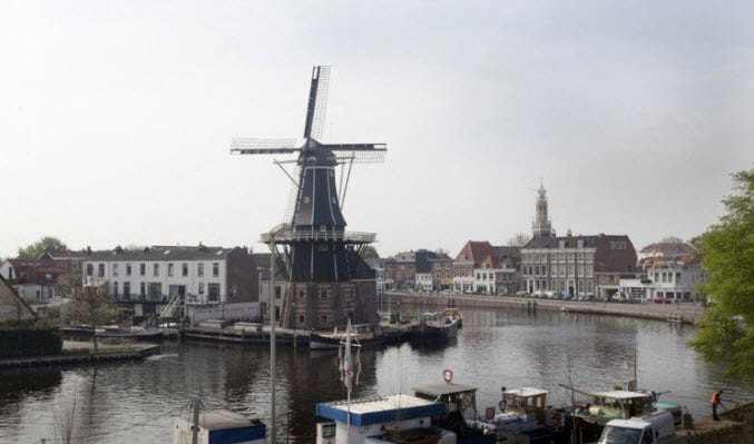
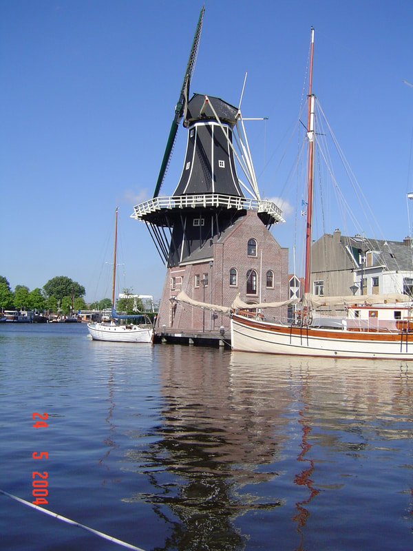
This jewel of a city, situated just 20km west of Amsterdam, has always been overshadowed by its big neighbour since 1245. Even when the Dutch founded Nieuw Amsterdam (New York) they created Haarlem (Harlem) as a suburb! Nowadays, with Amsterdam being afflicted by 'over tourism', this has turned out to be a blessing as tourists in the know stay here and commute to Amsterdam. Then they are seduced by the charm of Haarlem and don't bother with Amsterdam. We stuck close to the big commercial barge 'Equivalent' and passed through the next three bridges without incident but the sting was in the tail because the next one was a railway bridge closely paired with a main road bridge with only space between them for one commercial barge to wait. Now railway bridges only open infrequently according to the train schedule. So 'Equivalent' waited and we hovered, finally it backed up and moored to piles but there was no where for us to moor which meant that we circled around in front of the picturesque windmill, Molen de Adriaan, going aground several times.
Eventually, over two hours after arriving we got through but we were always nervous about going through Haarlem after that. One last bridge had to be passed (another has since been built) before reaching our destination for the night and this was where one paid the tolls for all the preceding bridges. As we approached, the bridge keeper let down a wooden shoe on a fishing line, we put our fee in and sailed on through. Unfortunately, this colourful practice has since been discontinued. 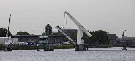 Waardenbrug but no Wooden Shoe on a Fishing Line
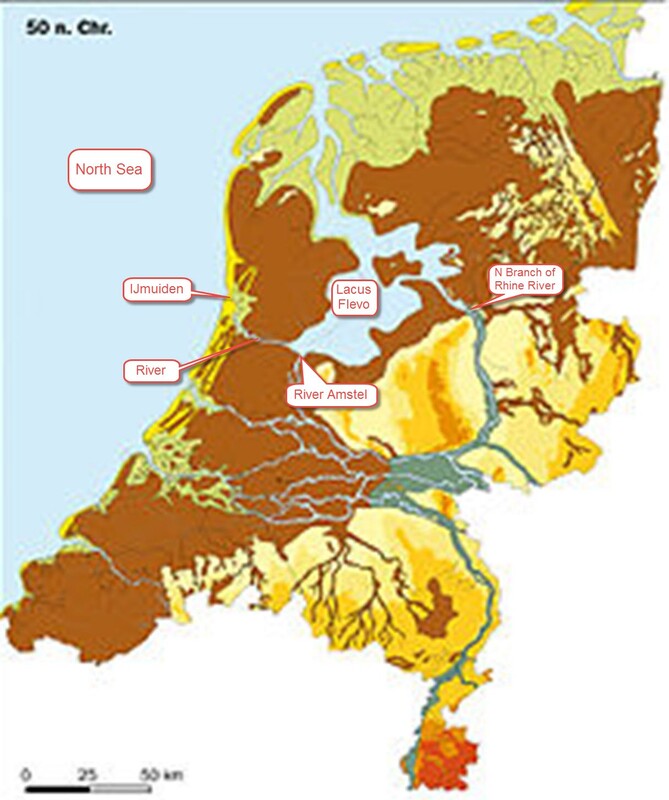
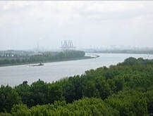
The waterways of the Netherlands are complicated with their network of canals (some little more than drainage ditches and some capable of handling ocean liners) and multiple water levels connected by locks. A little history lesson is necessary to understand this cruise in North Holland. When the Romans arrived this land was lakes and peat bogs protected from the North Sea by a band of sandy dunes. A branch of the Rhine River fed the water into a large lake called Lacus Flevo which in turned drained into the North Sea by the River IJ at IJmuiden (IJ Mouth). Other rivers flowed into it, notably the Amstel and the Spaarne.
By 850 AD the sandbars to the North were starting to erode letting in the North Sea tides and storm surges causing catastrophic floods in 838 AD. The people scrambled to build dikes and dams to protect themselves. One was a dam across the River Amstel and after that the place was called Amsterdam. A side effect of the breach in the sand dunes was that sea going vessels could now reach Amsterdam and its prosperity increased. With rising sea levels in the Middle Ages the sandbars were further swept away and the lake became an arm of the North Sea called the Zuider Zee. Now North Holland was totally exposed to the North Sea storms. Catastrophic storms in 1404, 1412, 1530, 1570 and 1717 drowned over 10,000 people, swept away villages and permanently drowned coastal towns. After each storm the dikes were rebuilt higher, only to be breached in the next storm.
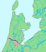
So it was diked, starting in 1840, and finally drained by 1852. Today it is Schiphol (Ship Hole) Airport which is 4 m below sea level. Digging began in 1865 to connect Amsterdam to the North Sea by way of the IJ Bay and cutting through the dunes at the old location of IJmuiden. Dikes were buit on either side and the land outside reclaimed. Today there is no trace of the old IJ Bay, just a massive canal capable of taking cruise vessels right up to Amsterdam. This involved large locks at either end and locks on either side to manage water levels since Amsterdam is 2m below sea level.
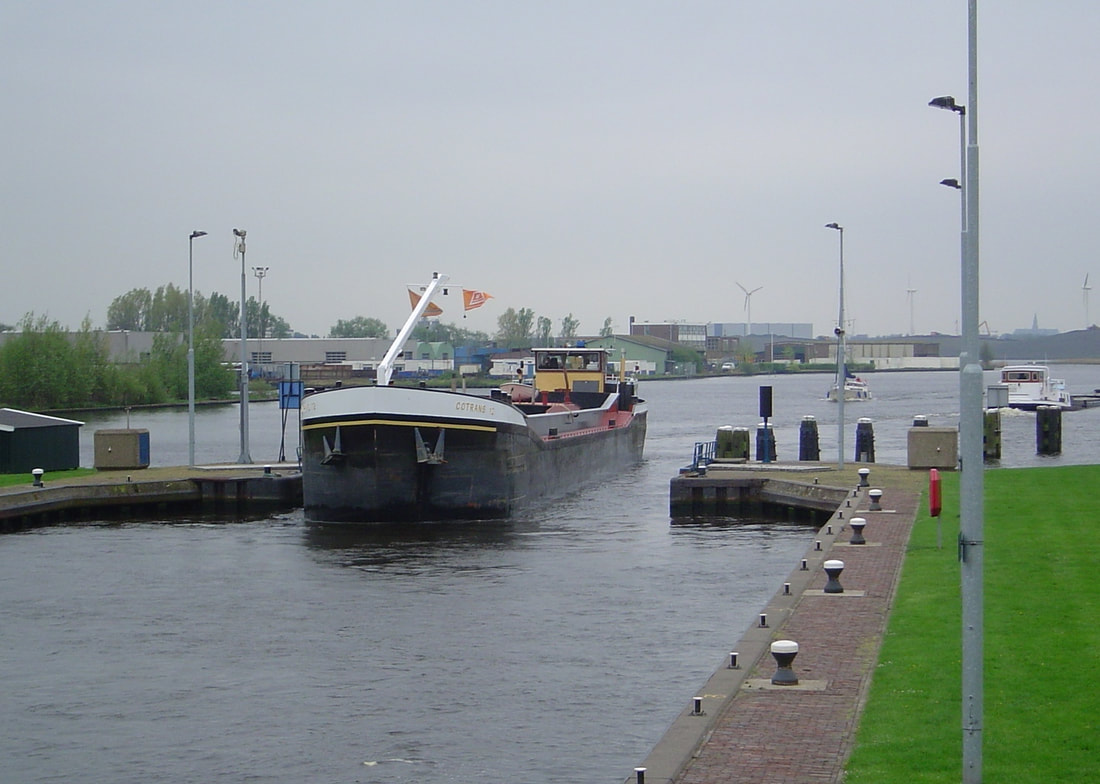
Finally, in 1916 a huge tidal surge caused widespread flooding prompting the Government to activate an old scheme of closing the Zuider Zee with a dam, a massive undertaking involving a dam 32 km long with huge sluices and locks. Work began in 1920 and was completed in 1932. Gradually the impounded water became fresh. Another catastrophic flood occurred in 1953 but thanks to the enclosing of the Zuider Zee the worst damage was caused in the southern part of the country, prompting another huge engineering project called the Delta Works. There were plans to completely drain what was now called the IJsselmeer and to this end a second dike was constructed accross the middle and completed in 1976. The southern part was then called the Markermeer. The water of North Holland was now totally engineered into one vast hydraulic system. 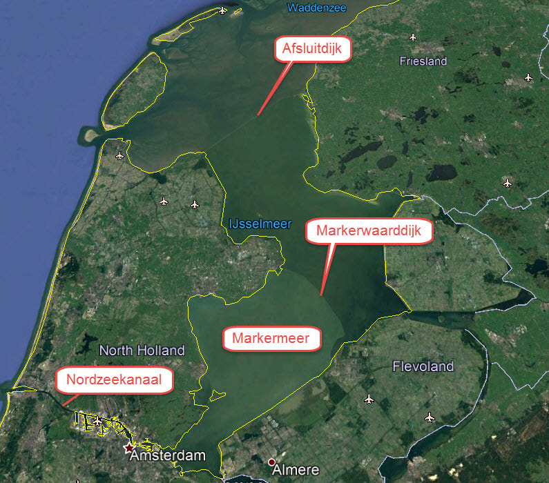 The Situation Today The next day saw us tackling our first lock in Enterprise in order to drop down from the river Spaarne to the North Sea Canal on our way to Amsterdam. Like most things it sounds simple but is not. The object is to bring the ship to a halt precisely where you want it against the lock wall and get lines around the bollards to secures it. However, stopping a ship is not like a car for there are no brakes, only reverse gear. So bringing our 7.5 tonnes of ship to a stop a few feet from the ship in front was a challenge. Too much reverse and the bow kicked out from the wall out of reach of the bollard. Before you know where you are you can be crosswise in the lock, viewed with alarm and derision by everyone. When you are descending it is easier because the water is at the top of the top of the lock and the bollards easily reached without the need to lassoo them long distance. We managed our first lock without embarrassment, even though there were two commercial barges and 4 yachts packed in; embarrassment was for later!
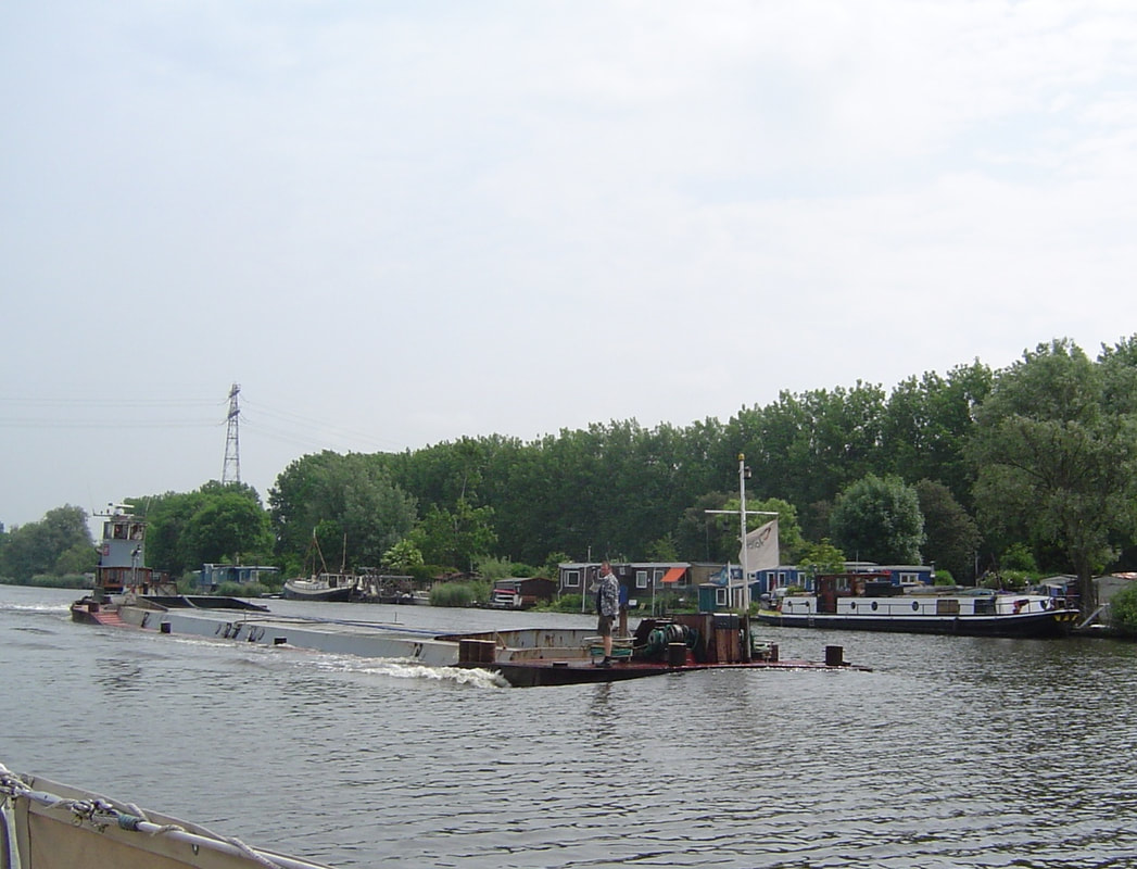
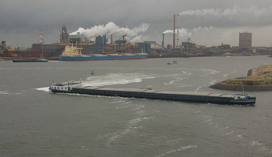
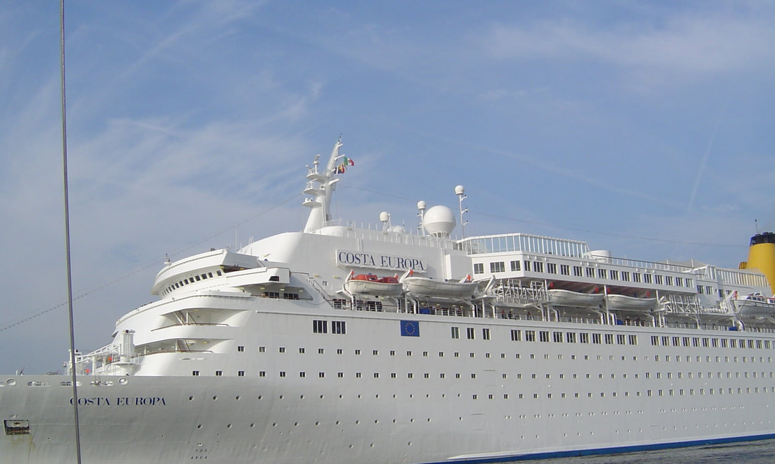
Sailing down the North Sea canal was our first experience of meeting really big nieghbours close up. Later experiences were even closer but at this stage we were still intimidated.
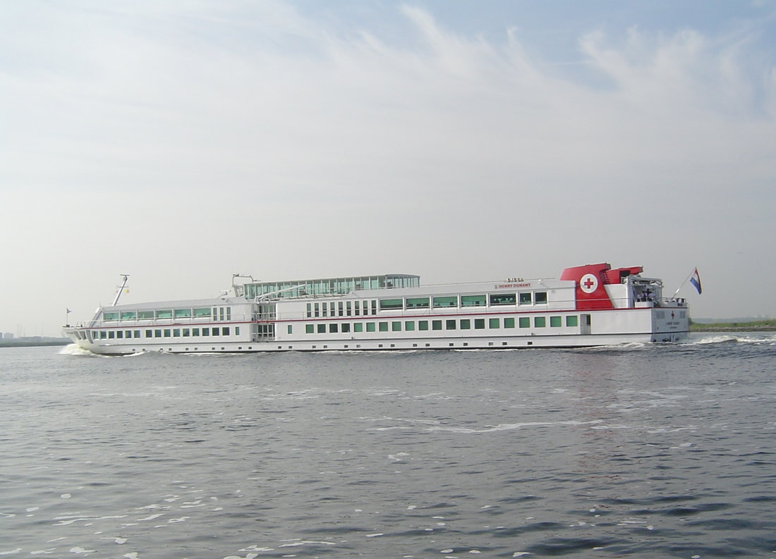
One meets all sorts of interesting vessels on the Dutch waterways and this trip was no exception.
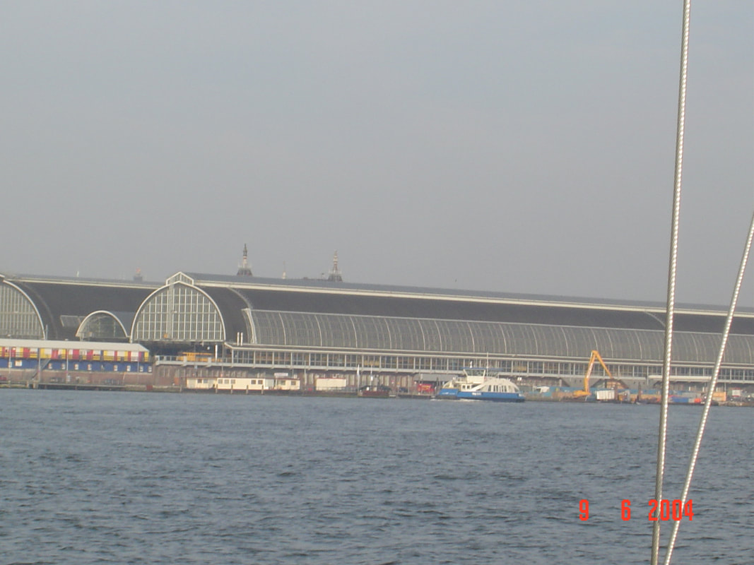
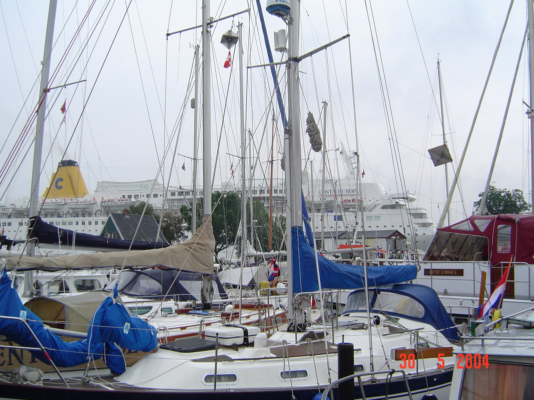
The approach to Amsterdam is disappointing for none of the pictuesque buildings can be seen. This is because the land in front of the old waterfront was reclaimed and a massive railway station built together with a traffic circulation area. That was obviously a time before tourism considerations. We had been told that the best Marina to go to was Sixhaven, right accross from the station and next to a free ferry. Well when we arrived it looked like everyone else had had the same idea! We were like sardines in a can, rafted eight deep.
What more can be said about Amsterdam that has not been said many times before. Suffice it to say we stayed 6 nights here. We finally got out of there after much juggling of yachts like a chess game and headed for Oranjesluizen to lock up into the Markermeer. This is the lock at the eastern end of the North Sea Canal and where we made a complete mess of it and were greatly embarrassed.
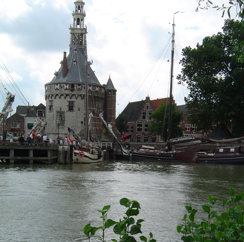
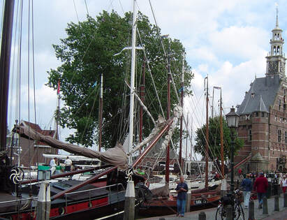
When the Zuider Zee was dammed up it was the begining of the end for the maritime history of ports like Hoorn and Enkhuizen that grew from fishing villages in the 700's to international maritime hubs in the Dutch Golden Age (around 1600 - 1700) only to decline back to fishing ports when their harbours silted up. However, what glorious cities remained! We first called at Hoorn, (after which Cape Horn was named by Willem Schouten in 1616), which was the headquarters of the Dutch East India Company with exclusive rights to the spice trade for a while. A native son of Hoorn founded the modern city of Batavia (now Jakarta) in 1619.
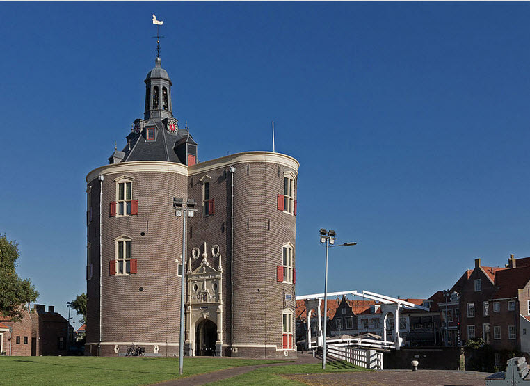
Then we locked through the Markerwaarddijk from the Markermeer to the IJsselmeer to visit Enkhuizen. This town mirrors Hoorn and has an almost identical history. The harbour is dominated by the town gate, The Drommedaris just like Hoorns' tower. However, this town hosts the Museum of the Zuiderzee which we found fascinating with its reconstructed village created from buildings and artifacts brought from all around the area.
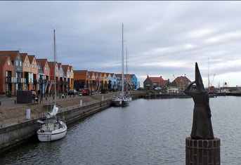
From Enkhuizen we crossed the IJsselmeer to Stavoren in Friesland to be greeted by the Lady of Stavoren. The North side of the IJsselmeer is very different country, low pasture land that has been frequently flooded over the years which has however produced ideal agricultural conditions. This is much less populated country and may have more Friesian cows than people! We would return to Stavoren in a later cruise as it is on the 'Mast Up' route through the Netherlands. Next day we sailed for the 'Isle' of Urk and discovered a nasty little secret of the IJsselmeer. Because the water is fresh and when there is no wind and the temperature is just right you can have a sudden bloom of billions of tiny black flies. After leaving Stavoren that is what we experienced; they stuck to everything for they seemed to die where they landed, The sails were black, the decks were black and our clothes were black with flies. In a couple of hours the plague had passed but we spent most of our time in Urk washing down the sails ,decks and ourselves.
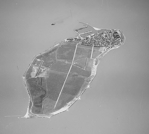
For a thousand years Urk was an island but in 1940 with the completion of the Noordoostpolder it joined the mainland. The inhabitants still think of themselves as 'islanders' and maintain their distinct cultural history.
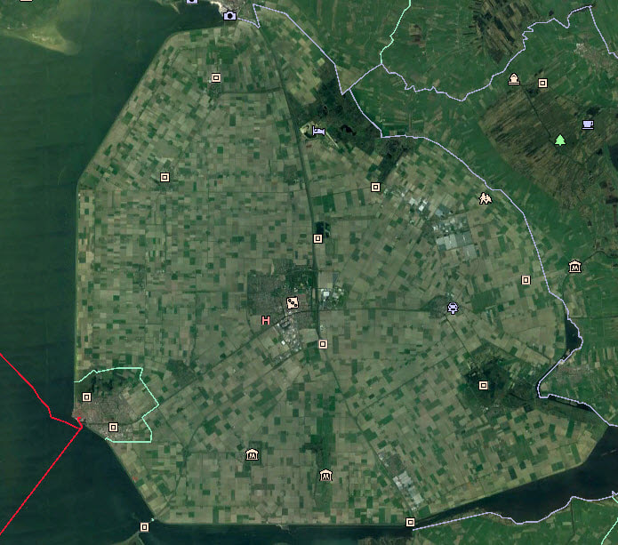
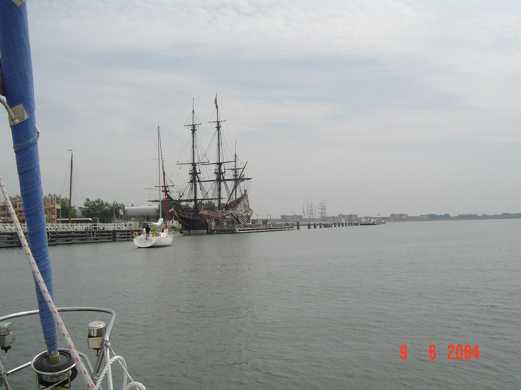
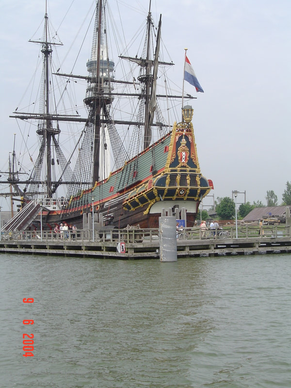
The reclamation of the Zuider Zee was interupted by the Second World War but afterwards work continued on the East and South polders and was completed in 1957 and 1958. The three polders then became the new Dutch province of Flevoland. Our next destination was Lelystad the new capital of this province. As a young man in in 1951 I can remember taking a ferry from Kampen to Hoorn sailing over all this land; strange, it makes me feel ancient. 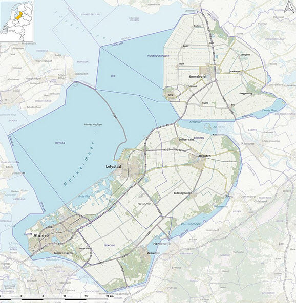 Approaching Lelystad we saw a full size replica of the 'Batavia', Abel Tasman's ship. This Dutch navigator discovered New Zealand, Tasmania and circumnavigated Australia 100 years before Captain Cook.
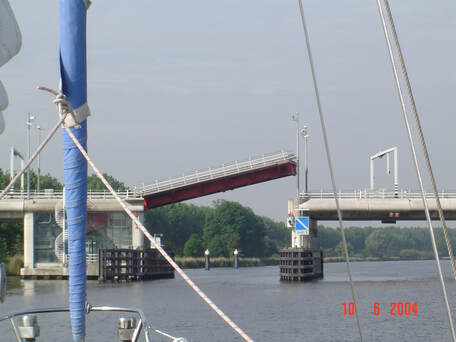
By this time we felt that we had tested Enterprise enough and learned to handle her. There was some concern about the reverse gear for it seemed to be slow to engage and that was our brake. So we decided to return to the boatyard in Haarlem where we could have it looked at and anyway we had committed to crew for a friend on a cruise fom the UK to Southern Eire in a few days time. We had learned a lot and all went smoothly until we reached the Catharijnebrug in Haarlem. 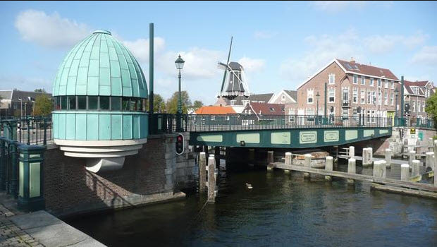 Catharijnebrug - The swing bridge and a listed monument. As had happened to us before, we tried to follow a loaded barge through but the light turned red and the bridge started to close but this time when we tried to engage reverse nothing happened! It looked like we were going to crash into this listed national monument. We tried to do a Uturn in the narrow space but hit a pile with a heavy, glancing blow and managed to stop at a second pile. What could have been a disaster ended up with paint damage and a lost boat hook. The most damage was to the confidence of the crew which had just recovered from the fiasco in the Oranjesluizen. Finally tied up at the boatyard we breathed out, made supper and started packing for the next day's departure to the UK. Then a piercing alarm went off. We had no idea what it was because we did not know that we had such an alarm. Frantic searching revealed that the ship was sinking with water nearly up ro the floorboards. Hand cranking the bilge pump could lower it but within an hour it was back again. With the energy of desperation we ran around and arranged for her to be lifted out of the water in the evening. It turned out that the stern gland rubber gasket that prevents water coming in through the propeller shaft bearing had failed. A major repair job involving removal of the engine and prop shaft but that will be the subject of another blog. So ended our first cruise in Enterprise. 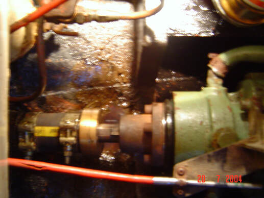 The Stern Gland and Coupling For other Cruising blogs see the Archive links in the sidebar at the top of this page.
Other blogs of interest are The Retirement Dream and How to Live Your Dream |
Author June and I (David Phillips) have sailed the European and UK coasts for 30 years, the last 14 in Enterprise. It has been a continual exploration , inspiration and growth of experience. We would not have missed a minute of it.
It is a symbiotic relationship, you look after her and she looks after you and takes you into a fascinating world that is otherwise inaccessible. Ill health finally forced us to sell her. On 2 September 2017 she was sold. We hope that she will bring the same life changing experiences to the new owners as she brought to us. Archives
August 2019
Categories
|